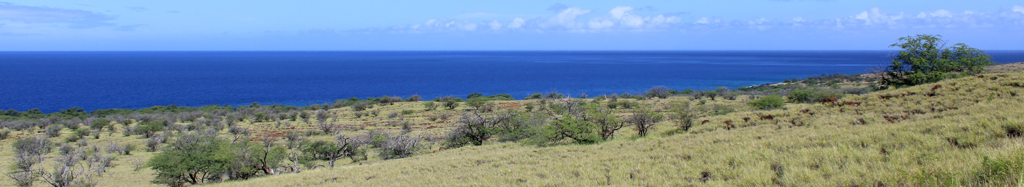
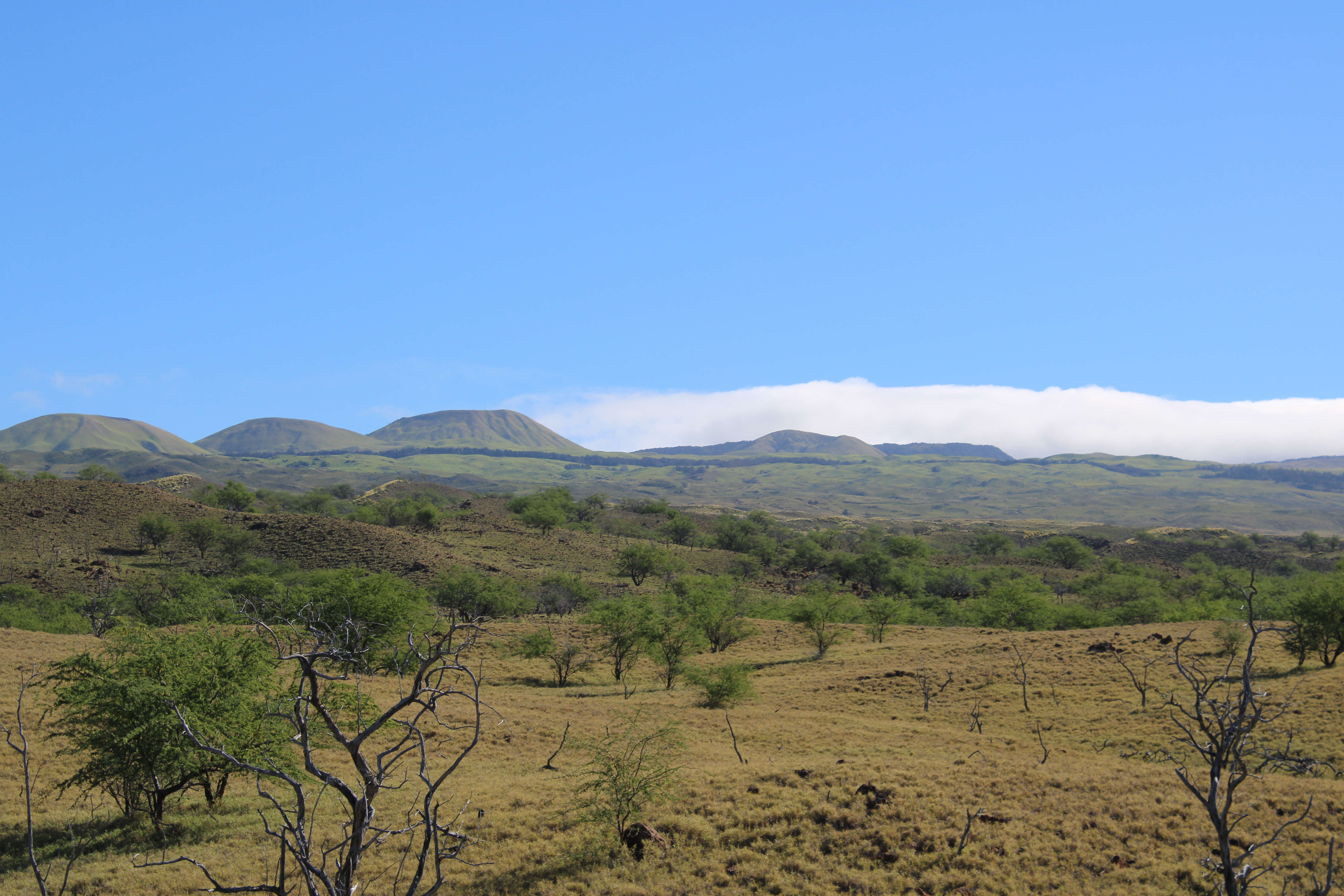
For my dissertation research, I examined the ancient agricultural fields of mauka (upland) Kawaihae in South Kohala, Hawaiʻi Island. These fields are located in an area that receives low annual rainfall compared to other historically cultivated leeward areas. There are a number of different factors - environmental and anthropogenic - that may have influenced the decision to intensively develop this landscape. Using geospatial analysis, soil sampling, radiocarbon dating, and other methods, I hope to assess how these different environmental and anthropogenic factors may have influenced agricultural productivity and strategies in this landscape over time. To learn more about the project:
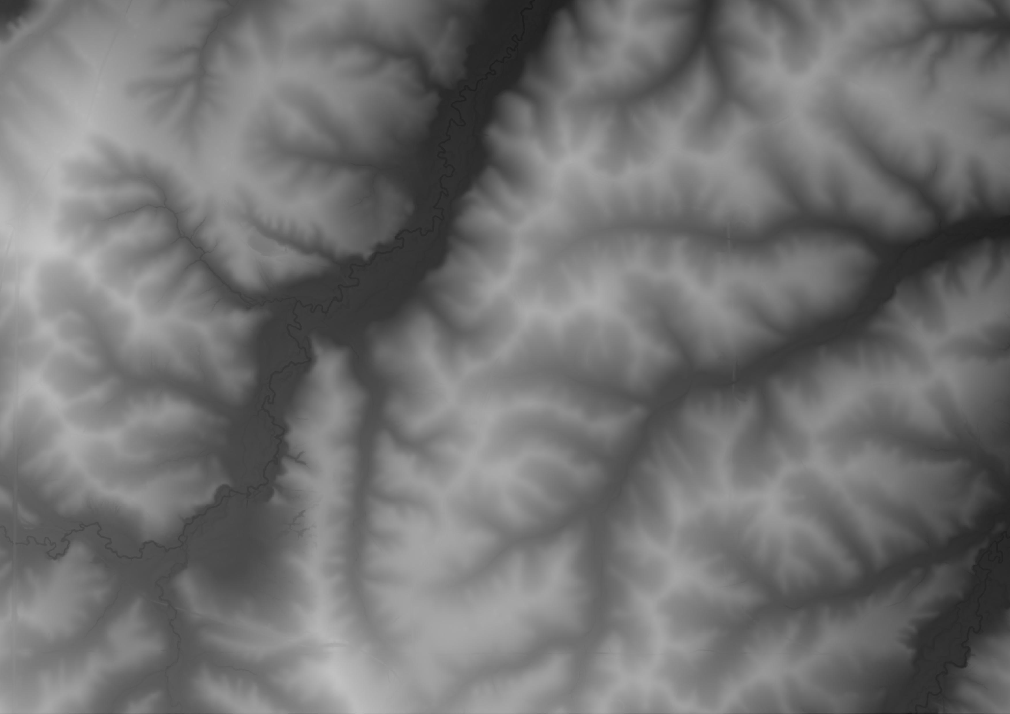
Trained deep learning models can help archaeologists leverage available geospatial data to quickly detect archaeological sites. In my research, I am interested in training and applying models to locate sites (especially agricultural sites) at a landscape scale. The following project examples were part of my work at the New Mexico Consortium's Center for Applied Fire and Ecosystem Science:
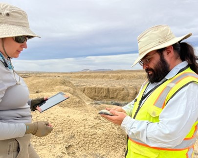
Digital approaches for recording archaeological survey data are becoming more common but are not yet ubiquitous. Over the past few years, and building off the work of others (particularly Ullah 2017), I've been testing different combinations of devices, software, and post-field tools to find solutions that balance reliability and cost.
Archaeologists can identify ceramic fabric groups (the combination of clay and other materials that make up a ceramic body) using petrographic thin sections and use these groups to answer broader anthropological questions. Coarse:fine:void ratios are a useful metric for identifying groups, and are usually extracted with the aid of image thresholding algorithms. For this project, my colleague Genevieve Woodhead and I assessed if the computer vision model Segment Anything (SAM) could effectively extract particles and voids from ceramic petrography slide images without additional training, and if these results are comparable to those derived from image thresholding.
Satellite and aerial images are used for archaeological site prospection worldwide. However, manually detecting and mapping archaeological sites from imagery can be time-consuming. In this project, I examined whether a ridge operator filter called a Sato filter could enhance "ridge-like" archaeological features from satellite imagery effectively enough that an unsupervised learning algorithm (k-means clustering) could extract the features.